In addition to the incandescent lava, Head of the Geological Disaster Technology Research and Development Center (BPPTKG) Hanik Humaida noted that Mount Merapi recorded 43 earthquakes, with an amplitude 3-27 mm and a duration of nine seconds, and one earthquake, with an amplitude of eight mm and a duration of nine seconds.
Another earthquake was thereafter also recorded with an amplitude of three mm for 11 seconds, as well as a distant tectonic earthquake, with an amplitude of two mm and lasting for 71 seconds.
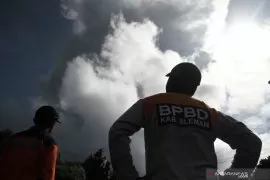
White thick smoke was observed bellowing as high as 50 meters from the crater's peak, while the weather around the mountain was sunny and cloudy.
Weak to moderate winds blew to the west, with air temperatures of 13-21 degrees Celsius, humidity of 72-89 percent, and air pressure of 627-707 mmHg.
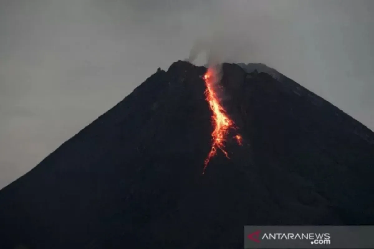
During the observation on Tuesday from 18:00 p.m. to 24:00 p.m. local time, Mount Merapi released incandescent lava five times as far as one km in the southwest direction.
The BPPTKG continues to maintain the alert status of Mount Merapi at Level III.
Areas in the south to the southwest that comprise Sungai Kuning, Boyong, Bedog, Krasak, Bebeng, and Putih are projected to be affected by the lava and hot clouds emitted from Mount Merapi.
In the meantime, Mount Merapi's volcanic material could disperse as far as three kilometers from the mountain's peak.
Related news: Mount Merapi emits incandescent lava 3 times as far as 900 meters
Related news: Mt Merapi belches ash 1.2 km into the sky
EDITED BY INE
Translator: Luqman Hakim, Katriana
Editor: Fardah Assegaf
Copyright © ANTARA 2021