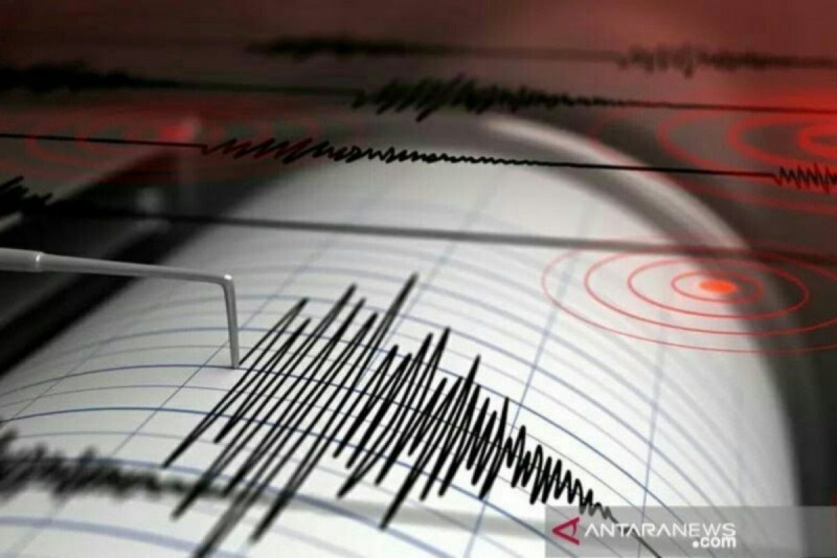
The epicenter of the tectonic earthquake, which struck at 12.01 p.m. local time, was located in the sea at a depth of 77 km, or around 94 km south of Kaimana City, at 4.45 degrees south latitude and 134.01 degrees east longitude, head of the BMKG's Earthquake and Tsunami Center Bambang Setiyo Prayitno said.
"Based on the location of the epicenter and the depth of the hypocenter, the earthquake is a moderate earthquake due to rock deformation in Graben-Aru," Prayitno informed in a BMKG press release.
An analysis of the source mechanism showed that the earthquake had a downward movement mechanism, he said.
"The modeling results show that this earthquake has no tsunami potential," he added.
The impact of the earthquake was felt in the Kaimana area on an MMI IV scale, and it was felt by many people indoors during the day, he said.
BMKG monitoring shows that there was no aftershock activity after the earthquake, he added.
According to the BMKG, there have so far been no reports of any damage caused by the earthquake.
The agency has advised residents to avoid buildings that have been cracked or damaged by the earthquake and to inspect residential buildings to ensure there is no damage that could jeopardize the stability of the building.
BMKG had earlier recorded the magnitude of the quake south of Kaimana City at 5.9 and then revised it to 5.8.
Related news: 1,040 quakes in West Papua's Sorong district in 2020: BMKG
Related news: 4.7-magnitude quake shakes W Papua's Kaimana
Translator: Devi Nindy Sari Ramadhan, Katr
Editor: Suharto
Copyright © ANTARA 2021
