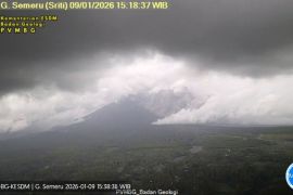
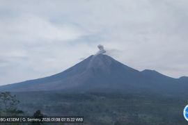
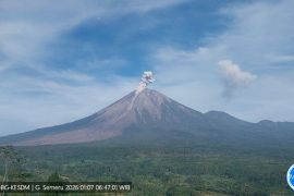
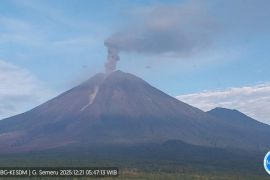
A thermal camera is installed for temperature screening at Besuk Kobokan. Hence, in the event of hot clouds, the temperature can be monitoredLumajang, Jawa Timur (ANTARA) - Energy and Mineral Resources Minister Arifin Tasrif has said that his administration will set up additional thermal cameras to monitor high temperatures at Mount Semeru.
"A thermal camera is installed for temperature screening at Besuk Kobokan. Hence, in the event of hot clouds, the temperature can be monitored," Tasrif noted here on Friday.
Related news: VP urges East Java to conceive Semeru victims' relocation plan
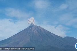
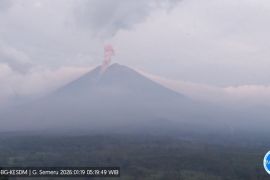
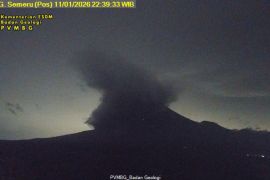
The Energy and Mineral Resources Ministry is committed to completing the Mount Semeru observation equipment to monitor the activity of Java's highest mountain. The equipment comprised a thermal camera that could monitor hot spots, so the movements of hot clouds could be determined.
"Equipment at the Semeru Volcanic Observation Post in Mount Sawur is digital, yet the ones in Curah Kobokan are still analog, though it (still offers data) in real time. Thus, everything complies with standards," he stated.
The four seismographs installed at the Curah Kobokan River, Supiturang Village, Pronojiwo Sub-district, and at Semeru Volcanic Observation Post on Mount Sawur, are considered sufficient to monitor the movement of flows descending from Mount Semeru.
Related news: SAR operation for Mt. Semeru eruption victims stopped
"So far, there is still no equipment that can detect when a volcano will erupt, but one day, its activity will generate high vibrations. Sometimes, the mountain can hibernate for a long time and then suddenly erupt. Hence, this must be watched out for," he reminded.
To this end, he deemed it necessary to map out disaster-prone areas and determine which areas the people should exit as a measure to protect the public from the Mount Semeru disaster.
"In the past, the affected area was in Curah Kobokan, or 11 kilometers from the summit, but now what happens is that hot clouds slide up to 16 kilometers, so five kilometers are exceeded due to the lava spill blocking the lava flow," he elaborated.
Related news: Ministry's Geological Agency raises Mt. Semeru's status to Level 3
He noted that Mount Semeru's status had increased, from Level II to level III, so his side has urged that areas mapped in the red, or hazard zones, should also be considered, so that there is no community activity within a predetermined radius.
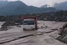
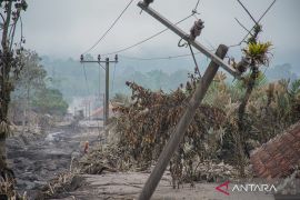
He informed that the increased activity of Mount Semeru on December 4, 2021, resulted in around eight million cubic meters of sand being dispersed and clogging the river. The lava that fell from the mountain could not pass through the river, which resulted in the lava spreading to residential areas.
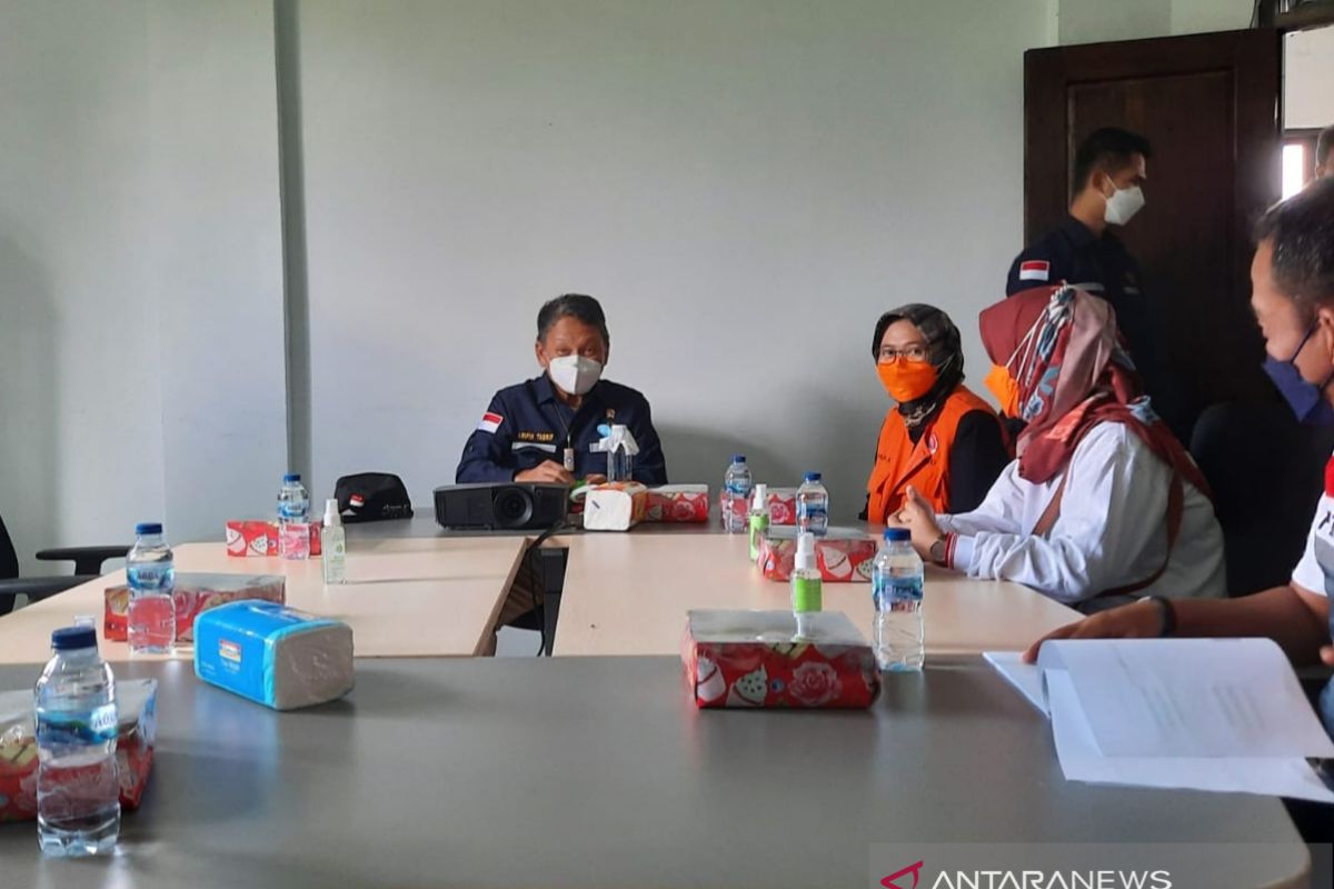
Deputy Head of Lumajang, Indah Amperawati, noted that one thermal camera installed to monitor the mountain's activity was considered to be insufficient. Thus, her administration urged the ministry to install more thermal cameras.
"I call for additional thermal cameras and other tools to be installed to monitor the activities of Mount Semeru," she emphasized.
Related news: President jokowi distributes food, cash to Ngawi street vendors
Related news: President Jokowi inaugurates Ngawi Central Market, East Java
Translator: Zumrotun S, Mecca Yumna
Editor: Fardah Assegaf
Copyright © ANTARA 2021
