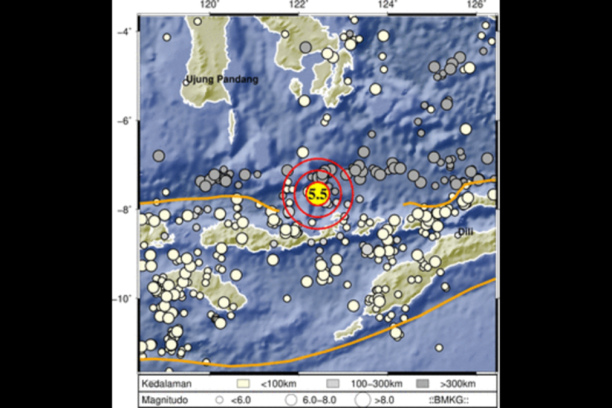
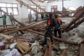
The quake's epicenter was located at 7.65 degrees southern latitude and 112.34 degrees eastern longitude, at a depth of 17 kilometers (km), and some 94 km northwest of Larantuka, the Meteorology, Climatology, and Geophysics Agency (BMKG) stated here on Saturday.
The quake did not have the potential to trigger a subsequent tsunami, the agency stated.
Indonesia lies on the Ring of Fire along the northeastern islands adjacent of New Guinea and the Alpide belt along the south and west from Sumatra, Java, Bali, Flores, and Timor.
The motion of the fault generates numerous small earthquakes every day.
Related news: South Nias earthquake centered in Batu megathrust zone: BMKG
Related news: BNPB asks Java's southern coast to mitigate quake, tsunami's impact
Related news: Some 93 earthquakes jolted Suma Island over last week: BMKG
Translator: Devy NSR, Fardah
Editor: Sri Haryati
Copyright © ANTARA 2022


