The Meteorology, Climatology, and Geophysics Agency (BMKG), Region III, Denpasar, informed on Saturday that, based on current atmospheric conditions, wind speeds in Bali are estimated to reach up to 25 knots, or approximately 46 kilometers per hour.
The waters north of Bali are projected to experience high-speed winds moving east to south, while in the waters south of Bali, they will move from east to southeast.
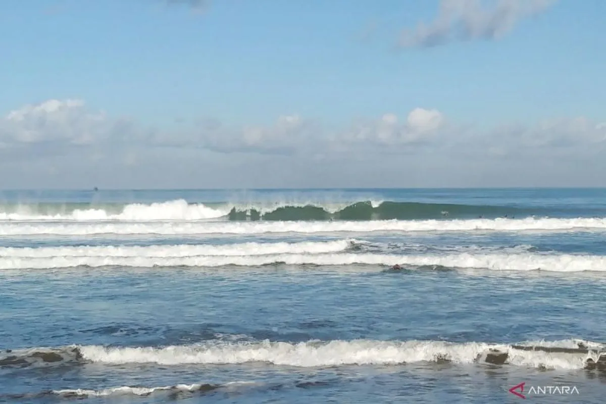
These strong winds could potentially trigger large waves, reaching a height of up to 4 meters, in the southern Bali Strait, Badung Strait, southern Lombok Strait, and southern Bali waters.
Meanwhile, in the waters north of Bali and the northern Lombok Strait, wave height is forecast to reach up to 2.5 meters.
The agency warned of a significant risk to shipping safety and asked fishing boats to remain alert against wind speeds exceeding 15 knots (approximately 27 kilometers per hour) and wave heights reaching 1.25 meters.
Meanwhile, for barge operators, it prescribed a threshold of 16 knots for wind speeds and 1.5 meters for wave heights.
For ferry operators, the risk would increase once wind speeds touch 21 knots and wave heights reach 2.5 meters.
The Bali Strait connects Bali and Java, while the Lombok Strait links Bali with Lombok.
The Badung Strait is a crossing route connecting Denpasar and Nusa Penida Island, Klungkung Regency. It is also a shipping route that links Denpasar with cities in eastern Indonesia.
The southern waters of Bali are primarily used for fishing and tourism routes.
Related news: New Adelaide-Bali route boosts foreign tourist access: Ministry
Related news: Three foreign airlines plan new routes to Bali amid tourist boom
Related news: Sanur SEZ accelerates health tourism growth: Minister
Reporter: Dewa Ketut Sudiarta Wiguna, Aditya Eko Sigit Wicak
Editor: Azis Kurmala
Copyright © ANTARA 2025


