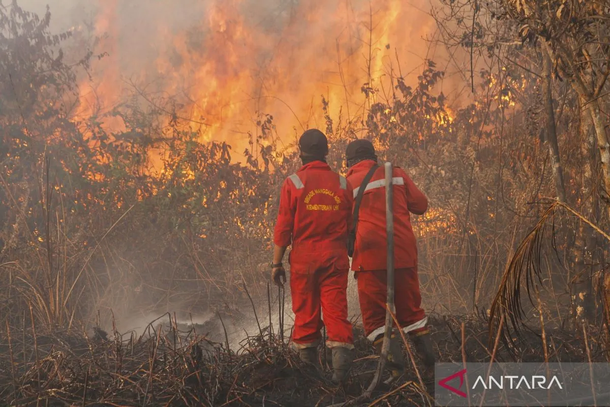
“The regions affected the most by fires in Riau are Kampar, Siak, Bengkalis, and Rokan Hilir districts,” Abdul Muhari, head of the National Disaster Data, Information, and Communication Center of the BNPB, said during a disaster briefing, which was accessed from Jakarta on Monday.
The BNPB reported that as of mid-July 2025, forest and land fires had spread evenly across 12 districts and cities in Riau, with Kampar and Bengkalis accounting for the largest area burned of over 100 hectares.
Meanwhile, the burned area in Rokan Hilir, Siak, and Indragiri Hilir crossed 50 hectares.
“In Pekanbaru city, the burned area is 21.08 hectares, reflecting an increase of 6 hectares from last week’s incident report, and fires are still burning in the affected areas,” he said.
He affirmed that most of the areas affected by fire are peatlands, and some are within industrial forest concession areas, such as oil palm plantations.
Therefore, the BNPB is stressing the importance of improving reporting and preparedness in the regions. This is considered necessary because currently, not all forest and land fire incidents are reported to the central government immediately.
Muhari said that attention must be paid to the change in season and dynamics in the field to prevent negative impacts on local communities.
“We want plantation managers to actively check the areas that they manage and take responsibility,” he added.
Related news: June 2025 hotspots rise in South Sumatra
Related news: Government intensifies efforts to combat Lake Toba fires
Translator: M Riezko, Raka Adji
Editor: Arie Novarina
Copyright © ANTARA 2025


