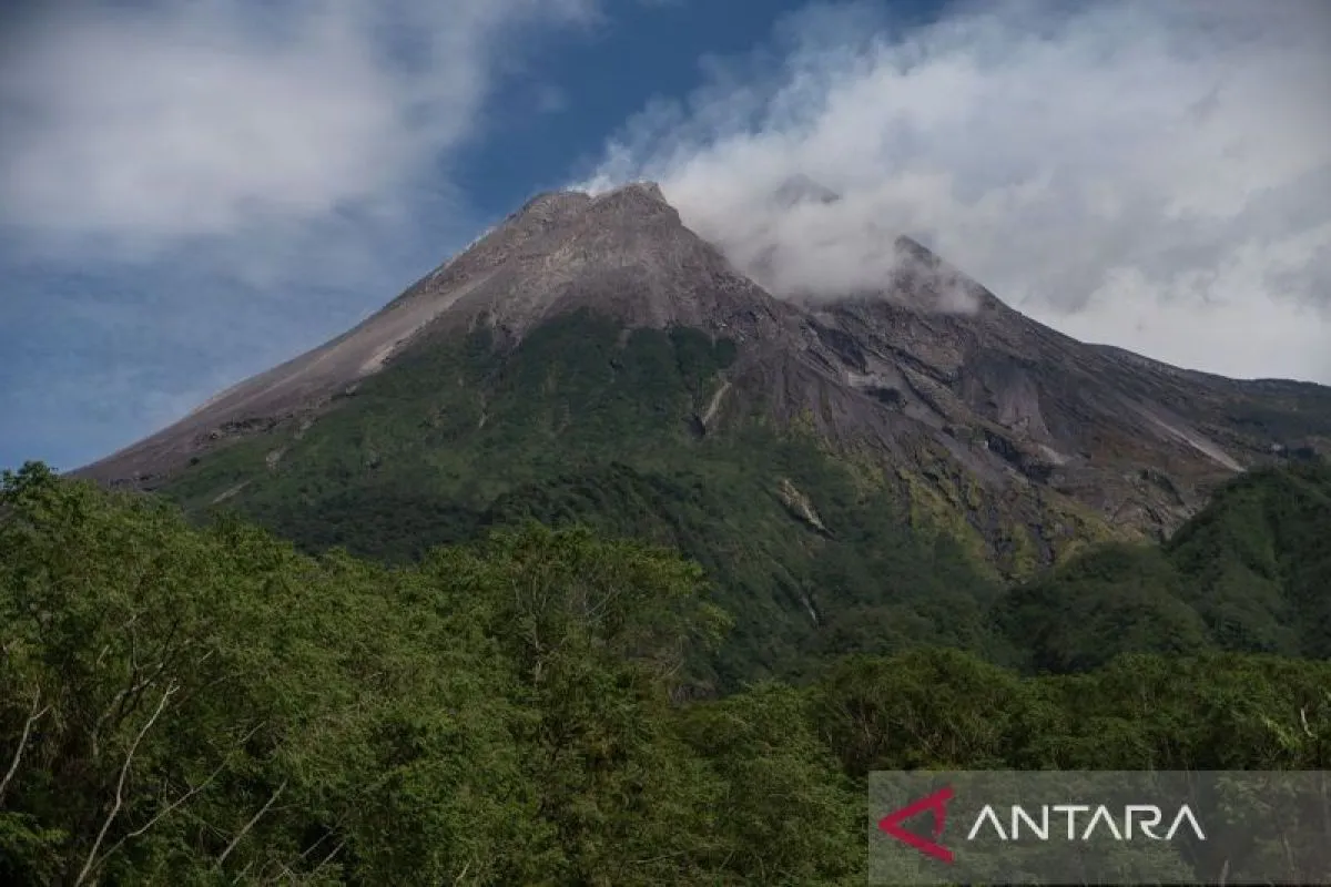
BNPB spokesperson Abdul Muhari said on Saturday that the finding aligns with an analysis by the Geological Disaster Technology Research and Development Center (BPPTKG) in Yogyakarta.
Between September 19 and 25, BPPTKG recorded 81 shallow volcanic earthquakes, 644 multiphase quakes, 520 avalanche quakes, and nine tectonic quakes.
"This seismicity data is higher than the previous week, indicating a dynamic magma supply within the volcano," Muhari said.
He noted that deformation monitoring using Electronic Distance Measurement (EDM) and GPS devices shows stable conditions with only minor changes in measurement distances.
BNPB urged communities in vulnerable areas to stay prepared for potential pyroclastic flows and lava flows, particularly during rainfall.
Mitigation efforts should include close coordination between agencies to prepare evacuation routes, shelters, logistics, and protective equipment, Muhari added.
The public was advised to follow only official updates from the Mount Merapi Observation Post and disaster agencies to avoid misinformation.
Based on BPPTKG's analysis, potential hazards include lava and pyroclastic flows in the south-southwest sector for 5–7 kilometers, and in the southeast sector through the Woro River for up to 3 km and the Gendol River for up to 5 km.
"Merapi is still erupting effusively, but with ongoing magma supply, the threat of pyroclastic flows remains," Muhari warned.
Related news: Indonesia’s Merapi volcano spews 88 lava avalanches in a week
Related news: Two lava domes may stretch out Mt. Merapi eruption radius: official
Translator: Resinta Sulistiyandari
Editor: Anton Santoso
Copyright © ANTARA 2025