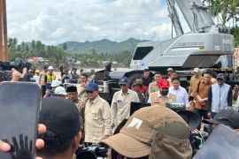
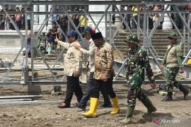
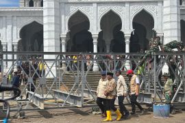
As a result of the closure, the flows of vehicles and pedestrians were disrupted. A number of policemen and volunteers warned all motorists and pedestrians of not crossing the bridge for their safety.
Some pedestrians argued with the police officers who asked them not to cross the bridge. Instead, they were suggested to take alternative roads to reach their destinations.
A voluntary rescue worker told ANTARA that the bridge had been closed for public at 04.00 pm local time after the Mount Merapi`s new cold lava flood hit Pabelan river.
"Due to a fragile condition of the bridge`s foundation structure after repeatedly hit by the cold lava floods, we do not allow vehicles and pedestrians to cross the bridge for their own safety," he said.
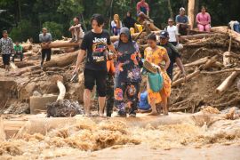
The cold lava floods remain a deadly threat to those living in the Mount Merapi disaster zones in the aftermath of the volcano`s eruptions last year.
About the Mount Merapi`s cold lava floods, Head of the Volcanology and Geological Disaster Mitigation (PVMBG) of Energy and Mineral Resources Ministry`s Geology Agency, Surono, said recently that they would remain a serious threat over the next four years.
"Volcanic materials from Mount Merapi`s 2010 eruptions are expected to reach 150 million cubic meters," he said last February.
According to Surono, the volcanic materials, which had flown into parts of Magelang had yet to reach one third of 150 million cubic meters of the emitted materials.
The cold lava flows would remain a concrete threat this year. Due to their huge volume, there was still enough cold lava on the mountain`s slopes that could at any time flow into rivers during the rainy seasons, he said.
Last March, the Mt Merapi`s cold lava floods had hit Opak and Gendol rivers, forcing several hundred people to take refuge because the strong currents of flood waters had destroyed their houses.
The destroyed and damaged houses are located in two villages.
They are Morangan, Plumbon and Tambakan hamlets in Sindumartani village, Ngemplak subsdistrict, as well as Jaranan, Kliwang and Teplok hamlets in Argomulyo village, Cangkringan subdistrict, Sleman district, Yogyakarta province.
Mount Merapi had erupted repeatedly last year but its most fatal eruptions occurred on October 26 and November 5, 2010.
As a result of the eruptions, at least 259 people had perished and many others sustained burns and became displaced.
Mount Merapi, on the border between two provinces, lies geographically close to Yogyakarta but is officially part of Central Java.
Besides killing and injuring several hundred people, eruptions had also damaged 867 hectares of forested land on the volcano`s slopes in Sleman District, Yogyakarta, with material losses estimated at Rp33 billion.
The damaged forested areas included the Merapi National Park, community forests and local people`s plantations.
Mount Merapi is one of the most active volcanoes in Indonesia, whose eruptions have been recorded from time to time since 1548.(*)
H018/HAJM/R013
Editor: Jafar M Sidik
Copyright © ANTARA 2011
