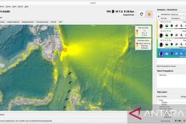
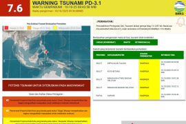
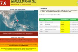
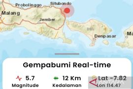
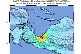
The quake`s epicenter was located at 7.52 degrees southern latitude, and 106.43 degrees eastern longitude, around 86 km southwest of Sukabumi, and at a depth of 30 km below sea level, according to information from the national Meteorological, Climatology, and Geophysical Agency (BMKG) on Sunday.
The temblor did not have the potential to trigger a tsunami, the BMKG said.
Chairman of the Sukabumi Regional Disaster Mitigation Agency (BPBD) Perry A Furqon said he had yet to receive reports on damages or casualties caused by the earthquake which could be felt throughout the region.
"We are still visiting the hit area and monitoring the developments, but we have so far had not received reports on damages," Perry told ANTARA, Sunday.
Rojab Asy, a local resident, said when the earthquake happened he was at a gasoline station in Warungkiara, Palabuhanratu, Sukabumi District.
He said he felt the earthquake very strongly, and he saw a number of people rushed out of buildings in panic.
"The temblor was quite strong and made residents panic, and motorists stopped their motors," he said.
Indonesia is located on the "Ring of Fire" - and is prone to frequent earthquakes and volcanic eruptions.(*)
(f001/S012)
Editor: Ruslan Burhani
Copyright © ANTARA 2011
