#geospatial
Collection of geospatial news, found 21 news.
Indonesia’s National Research and Innovation Agency (BRIN) is supplying satellite imagery to accelerate disaster ...
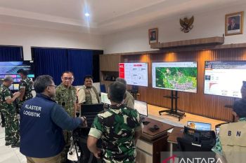
Indonesia's Air Force (TNI AU), in collaboration with the National Disaster Mitigation Agency (BNPB), has ...
The Indonesia government has instructed all regional administrations to complete their environmental protection and ...
Deputy Agriculture Minister Sudaryono stressed the need to protect agricultural land as a key pillar of national food ...
Statistics Indonesia (BPS) and the Brazilian Institute of Geography and Statistics (IBGE) have officially established ...
The Nusantara Capital City Authority (OIKN) is collaborating with four American information technology (IT) companies ...
Data collected under the Social Economic Registration (Regsosek) Program would become a basis for the government to ...
The One Map Policy will support the progress of various national developments being pursued by the government, ...
Brawijaya University has developed an Internet of Things (IoT) technology based on the Geographic Information System ...
G20 Indonesia
Indonesia’s efforts to bring about a rural transformation with the help of digitalization were highlighted during ...
Bentley Systems, Incorporated (Nasdaq: BSY), the infrastructure engineering software company, and Genesys ...
Overlapping land use or even overlapping claim on land ownership is one of the main problems of land in Indonesia. ...
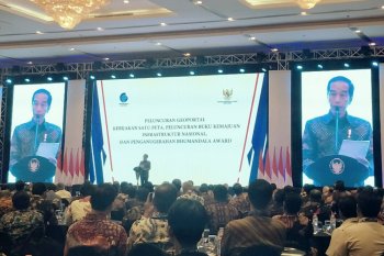
President Joko Widodo (Jokowi) said that the One-map Policy program can eliminate the requirement for a business ...
The Ministry of Energy and Natural Resources here on Wednesday launched an application to provide an integrated ...
Indonesian President Joko Widodo is keen to witness more ministries or institutions earning the Unqualified Opinion ...

