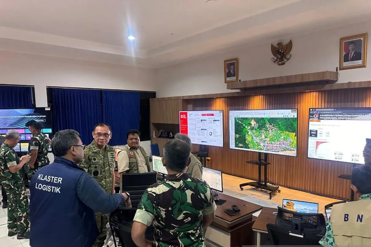
A multipurpose room at the TNI AU Geospatial Center (Pusgeos AU) within Halim Perdanakusuma Air Base, Jakarta, has been designated to host the crisis center.
“The National Crisis Center is designed as an integrated control facility to strengthen coordination among institutions and accelerate the mobilization of logistics and equipment,” Head of the TNI AU Information Center Air Vice Marshal I Nyoman Suadnyana stated in Jakarta on Monday.
He explained that Pusgeos AU contributes to the center by providing accurate and up-to-date geospatial data to be used by the government in determining mechanisms for logistics and equipment delivery to disaster-hit regions.
Suadnyana expressed confidence that the data will help the TNI AU and the BNPB optimize disaster emergency measures and assured that the crisis center will remain operational until all affected regions have recovered.
Related news: Indonesia estimates $3 billion for Sumatra disaster recovery
Related news: Sumatra floods: Prabowo urges fulfillment of victims' sanitary needs
Related news: Govt ensures continued search efforts in flood-hit Sumatra provinces
Translator: Walda M, Tegar Nurfitra
Editor: M Razi Rahman
Copyright © ANTARA 2025


