#earthquakes
Collection of earthquakes news, found 989 news.
The Meteorology, Climatology and Geophysics Agency (BMKG) here on Tuesday said that it has not yet detected volcanic ...
As many as 9,421 people have been taking refuge in 50 different places, since Mount Agung in Bali province showed ...
Natural disasters that have hit Indonesia up to June 2017 include floods (37.4 percent), whirlwinds (29.2 percent), ...
The five-day Indonesia-US joint exercise themed Marines Tactical Warfare Simulation (MTWS) ended on Friday.Assistant ...
Mt Sinabung, located in Karo district, North Sumatra province, Thursday erupted at 7.20 a.m. local time, causing 386 ...
The Meteorology, Climatology and Geophysics Agency (BMKG) of Indonesia is teaming up with the Earthquake Prediction ...
-Nippon Telegraph and Telephone Corporation (NTT) and PT Telkom Indonesia (Persero) Tbk (Telkom Indonesia) established ...
A strong earthquake measuring 6.4 on the Richter scale rocked the islands of Bali and West Nusa Tenggara (NTB) at 7.10 ...
The Indonesian Institute of Science (LIPI) will conduct bathymetric mapping (mapping of sea floor topography) in the ...
Two earthquakes measuring 5.5 and 5.4 on the Richter scale each hit Pidie Jaya district, Aceh province, early ...
Eight mild earthquakes measuring between 2.4 and 4.5 on the Richter scale, hit the districts of Karo and Deliserdang, ...
The epicenter of Magnitude 5.6 earthquake that jolted Deli Serdang District of North Sumatra on Monday evening was ...
Mount Anak Krakataus volcanic activity is normal but remains on alert status, so the local fishermen and tourists are ...
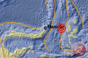
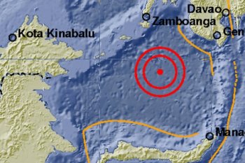
A powerful earthquake of magnitude 7.3 on the Richter scale hit the waters northwest of the Sangihe Islands in North ...
Floods and a landslide have struck the villages of Sunuruik and Talu in Talamau Sub-district, West Pasaman District, ...


