#tectonic
Collection of tectonic news, found 363 news.
A 5.6-magnitude earthquake jolted East Flores District, East Nusa Tenggara Province, at 01:24 am local time, Tuesday, ...
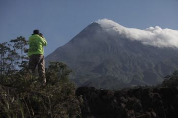
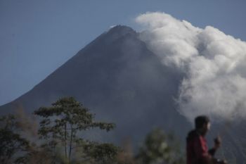
Mount Merapi has erupted again on Friday morning at 8:20 a.m. local time, according to the Yogyakarta Volcano and ...
The Research and Technological Development for Geological Disaster Agency (BPPTKG) reported here on Tuesday that there ...
Social Affairs Minister Idrus Marham ordered his staff, especially Disaster Alert Cadets (Tagana), to remain on ...
Mata Ie Geophysics Station in Aceh Besar District has installed seven sensors that are directly connected to the ...
The Energy and Mineral Resources Ministry`s Volcanology and Geological Hazard Mitigation Center (PVMBG) reported here ...
A tectonic quake measuring 5.5 on the Richter scale occured in Bali at 5.54 am on Thursday. "The tremor was felt ...
An earthquake measuring 4.9 on the Richter Scale jolted Lembata and the surrounding areas in East Nusa Tenggara ...
Mount Karangetang in Siau Island, North Sulawesi Province, has spewed sulfuric smoke 200 meters into the sky, chief of ...
Indonesias National Disaster Mitigation Agency (BNPB) has extended the emergency alert status of Mount Agung in Bali ...
Volcanic activities of Mount Agung have decreased since the last two days, according to the Center for Volcanology and ...
Tourist sites in Bali are safe amid the alert status of Mount Agung, the highest mountain in Bali. The status of ...
Mt Sinabung, located in Karo district, North Sumatra province, Thursday erupted at 7.20 a.m. local time, causing 386 ...
The Indonesian Institute of Science (LIPI) will conduct bathymetric mapping (mapping of sea floor topography) in the ...
Eight mild earthquakes measuring between 2.4 and 4.5 on the Richter scale, hit the districts of Karo and Deliserdang, ...


