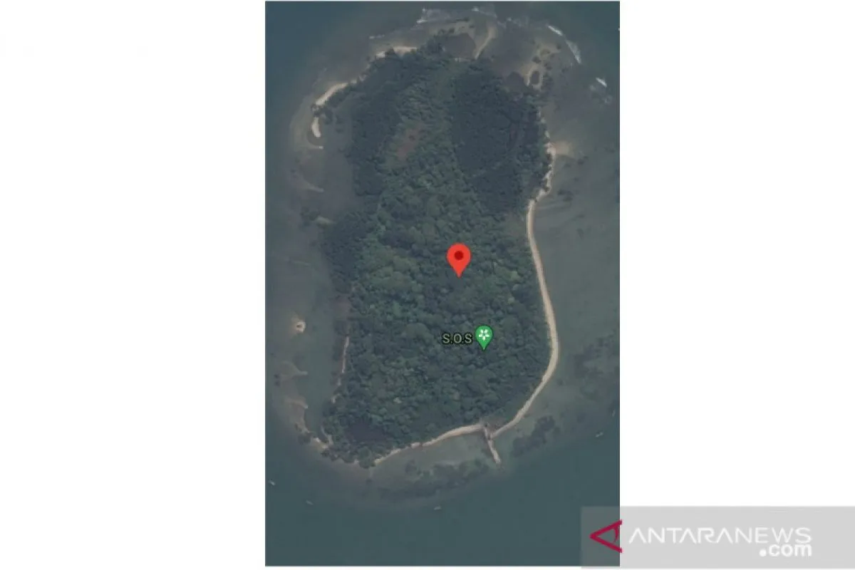
There was nothing there. I have sought confirmation from (the SAR team) members and they have found nothing there.Jakarta (ANTARA) - The SOS sign seen on Laki Island on the Google Maps application is not linked to the Sriwijaya Air plane crash, Operations Director of the National Search and Rescue Agency (Basarnas) Brig. Gen. Rasman MS said.
He said his team had checked the location and found nothing there.
"There was nothing there. I have sought confirmation from (the SAR team) members and they have found nothing there,” he stated here Wednesday.
He said bad weather could have prompted fishermen to shelter on the island and use their smartphone to upload the SOS signal.
Related news: Plane debris, cables found in waters off Laki Island, Pulau Seribu
"Usually fishermen find shelter on the island in the event of bad weather. After they moored their boats, they likely played a game on the hand phone or anything else. Yes, it could be. But it had nothing to do with Sriwijaya," he clarified.
Social media has been abuzz after a screenshot began circulating of Google Maps showing an SOS tag on Laki Island, which is close to the suspected site of the Sriwijaya Air plane crash.
However, when ANTARA checked the Google Maps application again at 8 p.m. WIB on Wednesday, the SOS marker had disappeared.
The Sriwijaya Air flight SJ-182, bearing the registration number PK-CLC, lost contact at 2:40 p.m. Western Indonesia time (WIB) on January 9, 2021 shortly after take-off and crashed between Lancang Island and Laki Island, Thousand Islands, DKI Jakarta. The plane was headed to Pontianak from Jakarta.
Based on the manifest, the plane had 50 passengers and 12 crew members on board. Of the total passengers, 40 were adults, seven were children, and three were infants.
Related news: Bad weather impedes day-11 SAR operation of crashed Sriwijaya
Translator: Prisca Triferna V/Suharto
Editor: Rahmad Nasution
Copyright © ANTARA 2021


