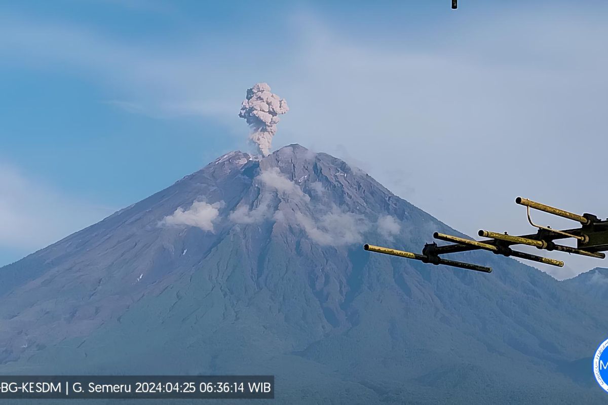
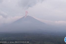
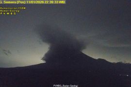
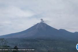
"The ash column was observed colored white to gray, with moderate intensity, (heading) towards the south," an officer of the Mount Semeru Observation Post Liswanto stated in a report received here on Thursday.
The first eruption at 12:15 a.m. had a volcanic ash height of 800 meters heading to the southeast and south. Thereafter, the second eruption occurred at 2:34 a.m., with a volcanic ash height of 800 meters heading to the southwest.
Furthermore, another eruption occurred at 6:35 a.m., with a volcanic height reaching 900 meters and heading to the southwest. Meanwhile, the fourth eruption was recorded to occur at 8:34 a.m., with an ash column height of one thousand meters heading to the south.
Liswanto reminded local residents to not conduct any activities in the southeastern sector along the Besuk Kobokan River as far as 13 kilometers from the peak of Mount Semeru.
Beyond this distance, residents are appealed to not carry out activities within 500 meters of the river bank along Besuk Kobokan, as they can likely be affected by the expansion of hot clouds and lahar flows up to a distance of 17 kilometers from the peak.
In addition, the Volcanological Survey of Indonesia (PVMBG) has recommended people to not carry out activities within a five-kilometer radius of the peak of Mount Semeru since it is prone to volcanic stones.
The public is also urged to be aware of hot clouds, lava avalanches, and lahar along rivers that originate at the peak of Mount Semeru, especially along Besuk Kobokan, Besuk Bang, Besuk Kembar, and Besuk Sat, as well as the potential for lahar in small rivers coming from Besuk Kobokan.
Related news: Mount Semeru erupts thrice within three hours: Official
Related news: Mount Semeru alert raised, tourism activities restricted
Translator: Sugiharto Purnama, Raka Adji
Editor: Rahmad Nasution
Copyright © ANTARA 2024
