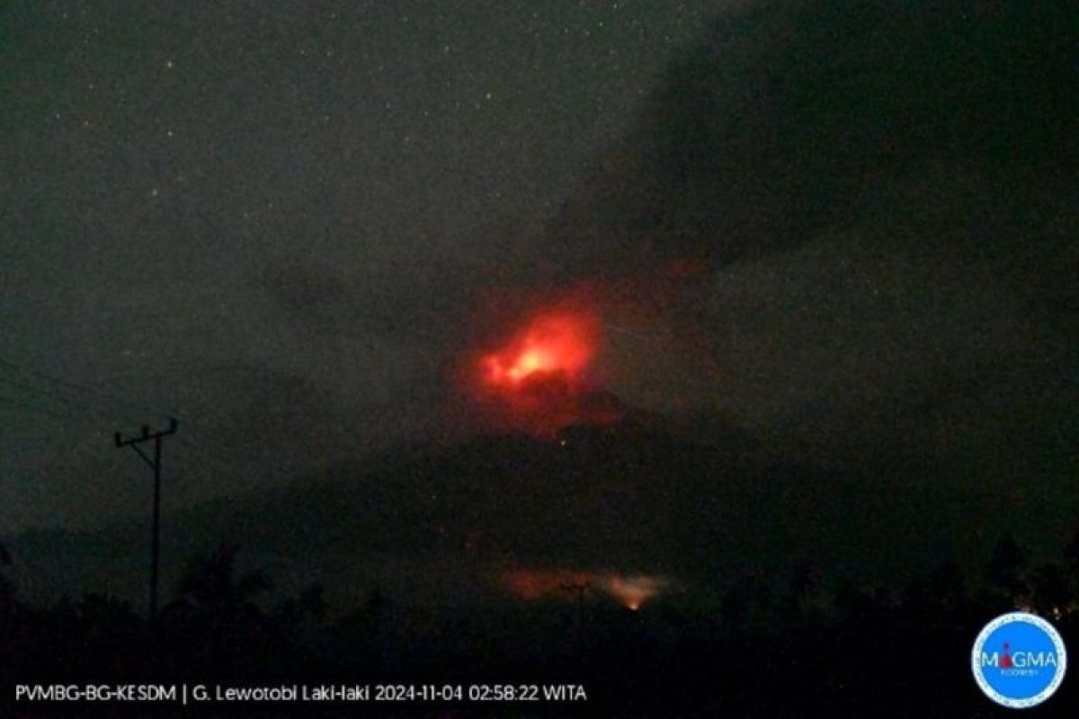
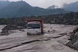
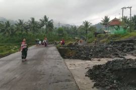
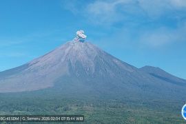
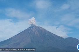
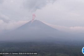
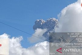
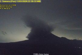
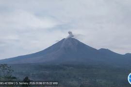
"Locals should beware of the risks of cold lava floods in rivers that originate from the peak of Mount Lewotobi in the event of heavy rain, especially in Dulipali, Padang Pasir, and Nobo areas," Head of the agency Muhammad Wafid said.
At an online press conference, which was followed from Jakarta on Monday, he informed that high-intensity rain could cause volcanic materials accumulated at the peak of the mountain, situated in East Nusa Tenggara Province, to be carried by rainwater into areas at lower altitudes.
He then said that the status of the volcano has been raised from Level III (alert) to IV (beware) following the latest eruption, recorded from Sunday (November 3, 2024) evening to Monday morning local time.
The official also urged residents affected by the ash rain from Mount Lewotobi Laki-Laki to wear a mask to prevent volcanic ash from harming their respiratory systems.
Meanwhile, Sofyan Primulyana, an official with the Volcanology and Geological Hazard Mitigation Center (PVMBG), said that his side has not detected any lava floods since the eruption.
"Lava floods did occur one or two weeks ago. Such floods usually headed to the north and were caused by rain in the mountain's peak area. Moreover, lava floods flowing to the northeast were also recorded earlier this year," he elaborated.
Mount Lewotobi Laki-Laki has erupted 871 times this year, with the most recent eruption reportedly killing 10 residents and injuring several others.
In response, the central government immediately moved to evacuate victims and distribute logistics assistance to the affected areas.
Related news: NTT airports temporarily closed due to Mt. Lewotobi eruption: BNPB
Related news: Mount Lewotobi eruption: Govt arranges logistics aid for victims
Translator: Lintang B, Tegar Nurfitra
Editor: Rahmad Nasution
Copyright © ANTARA 2024
