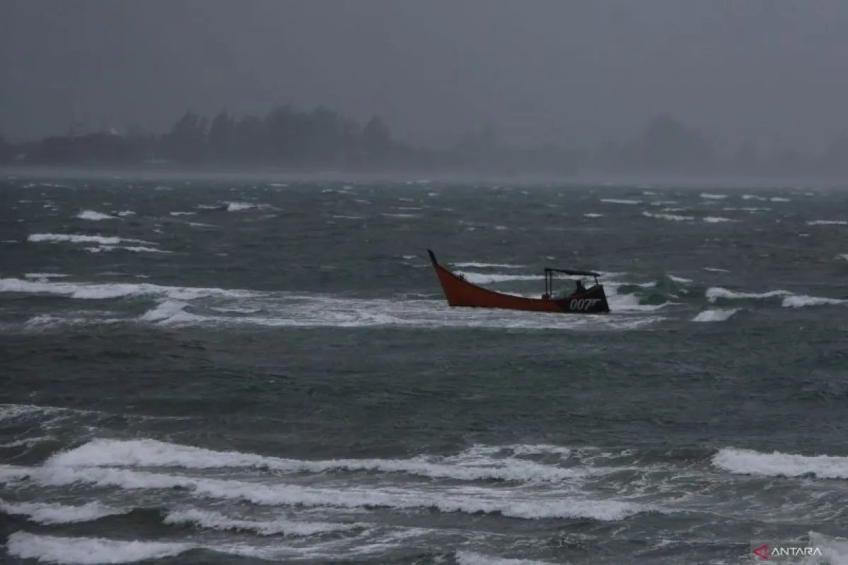
During this period, waves between 2.5 and four meters are expected in parts of the Indian Ocean, particularly west of the Mentawai Islands, Lampung, and Bengkulu, the agency's official website stated on Thursday.
Waves of similar heights are forecast along the southern coastal waters off Banten, West Java, the Special Region of Yogyakarta, Central Java, and East Java, as well as in the western, central, and eastern Arafura Sea.
Moderate waves measuring 1.25 to 2.5 meters are predicted for the northern Malacca Strait; the Indian Ocean west of the Nias Islands and Aceh; and south of West Nusa Tenggara, Bali, and East Nusa Tenggara.
Additional regions within this range include the Java Sea, Flores Sea, Bali Sea, Banda Sea, Karimata Strait, Makassar Strait, Seram Sea, and the Pacific Ocean north of Papua.
BMKG reports that winds in northern Indonesia during this time will generally blow from east to south at speeds ranging from 4 to 25 knots.
In the southern regions, winds will come from the southeast to southwest, reaching speeds between 6 and 30 knots.
The highest wind intensities are expected in the Indian Ocean west of Aceh and Lampung, the Pacific Ocean south of Banten, the Arafura Sea, and the Karimata Strait.
BMKG strongly urges vessel operators and coastal communities to remain alert, as the combination of elevated wave activity and strong winds significantly increases the risk to maritime safety.
Related news: BMKG warns public of nearly four-meter-high waves in Indonesian waters
Related news: Four-meter-high waves caused Mentawai speedboat to capsize: Ministry
Related news: Bali put on alert for strong winds, high waves
Translator: Andi Firdaus, Aditya Eko Sigit Wicaksono
Editor: Primayanti
Copyright © ANTARA 2025


