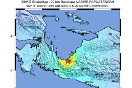
The undersea quake was centered 175 km southwest of the provincial capital Bengkulu, 189 km southwest of Padang Betuah-Bengkulu or 195 km southwest of Lais-Bengkulu at a depth of 30 km, the Meteorology, Climatology and Geophysics Agency (BMKG) said in its official website on Wednesday.
The quake was not strong enough to cause a tsunami, it said.
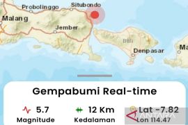
A quake measuring 5.7 on the Richter scale rocked Bengkulu on June 19, forcing local people to rush out of their homes.
Bengkulu is one of the areas in Indonesia prone to quakes. Indonesia sits on the Pacific "Ring of Fire" where the meeting of continental plates causes high volcanic and seismic activity.
The province was hit by a powerful quake with a magnitude of 7.9 in 2007, leaving tens of people dead and destroying thousands of houses with material losses estimated at hundreds of billions of rupiahs.
Earlier, an undersea 7.3 magnitude quake also rattled the province in 2000 in which tens of people perished and hundreds of houses were damaged.(*)
(S012/HAJM/O001)
Editor: Ruslan Burhani
Copyright © ANTARA 2011


