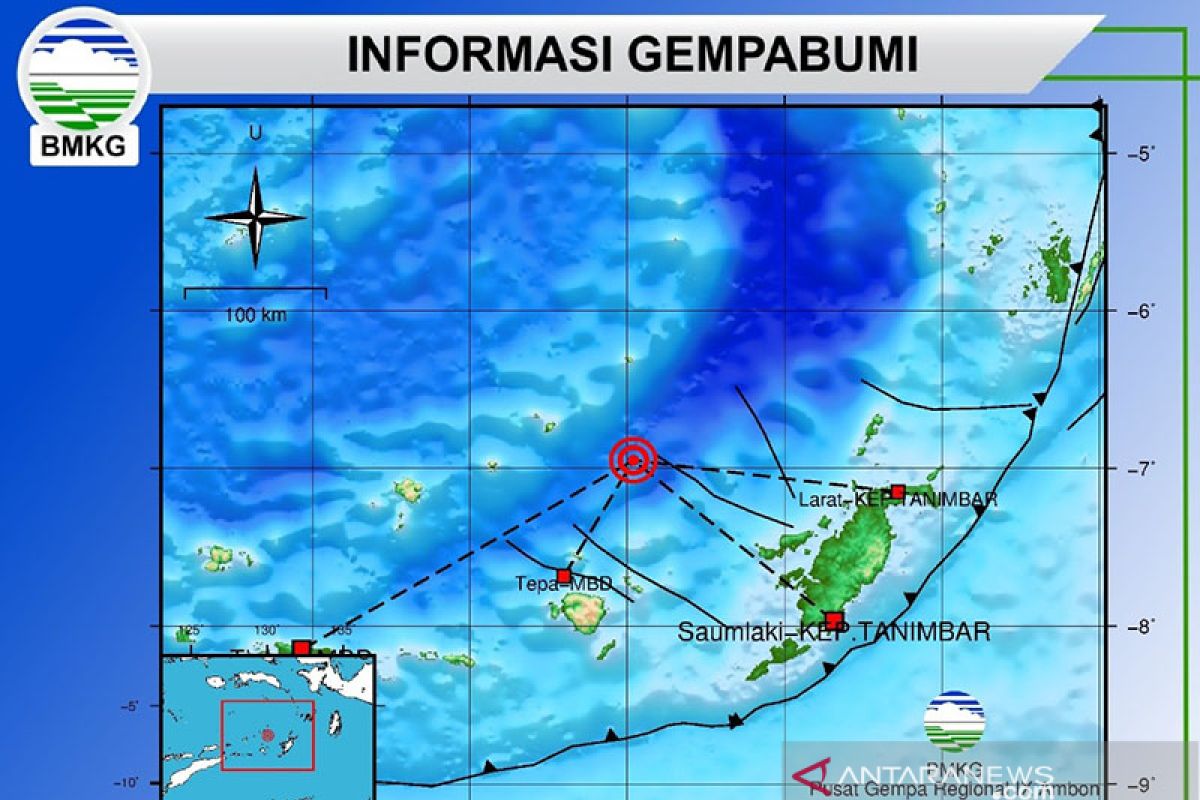
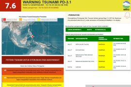
The quake's epicenter was located at -6.88 degrees latitude and 123.55 degrees longitude, at a depth of 670 kilometers below sea level, some 171 kilometers (km) northeast of Larantuka, East Nusa Tenggara (NTT), and 172 km southwest of Wakatobi, Southeast Sulawesi.
The earthquake was followed by an aftershock, with a magnitude of 5.0, which struck at 11:42 a.m. WIB.
The aftershock was epicentered at -6.92 degrees latitude and 123.52 degrees longitude, at a depth of 647 km below sea level, and some 166 km northeast of Larantuka.
Indonesia sits on the geographically active “Pacific Ring of Fire” and holds some 40 percent of the world's geothermal reserves.
The Ring of Fire, or the Circum-Pacific belt, is the world’s greatest earthquake belt, according to Live Science, owing to fault lines running from Chile to Japan and Southeast Asia.
Related news: A 5.5-magnitude earthquake strikes Flores waters in Indonesia
Related news: No casualties, damage reported after earthquake hits Yogyakarta
Related news: Four earthquakes of varying magnitudes jolt Indonesia on Tuesday
Translator: M Zulfikar, Fardah
Editor: Sri Haryati
Copyright © ANTARA 2020
