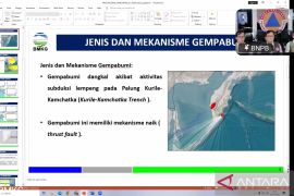
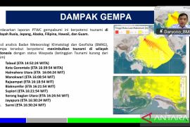
The temblor`s epicenter was located at 1.09 degrees northern latitude and 119.57 degrees eastern longitude, 39 km southwest of Palu, and at a depth of 10 km, according to information the national meteorological, climatology, and geophysics agency (BMKG) here, Monday.
The earthquake did not have potential to trigger a tsunami, and was felt by local inhabitants for 30 seconds. A number of residents rushed out of buildings in panic.
Indonesia is prone to seismic upheaval due to its location on the Pacific "Ring of Fire," an arc of volcanoes and fault lines encircling the Pacific Basin.
The Palu BMKG recorded around 600 earthquakes measuring between .0 and 5.6 on the Richter scale every month.
In 2008, a magnitude-7.7 earthquake rocked Buol District, Centrla Sulawesi Province, killing four persons and destroying more than 1,400 houses. (*)
Editor: Aditia Maruli Radja
Copyright © ANTARA 2011


