"The villages have been relocated for safety reasons," said Sinabung`s Public Relations Coordinator for Disaster Management Johnson Tarigan on Sunday.
Four villages in Naman Teran District have been relocated - Kutagunggung, Bakerah, Simacem, and Sigarang-garang.
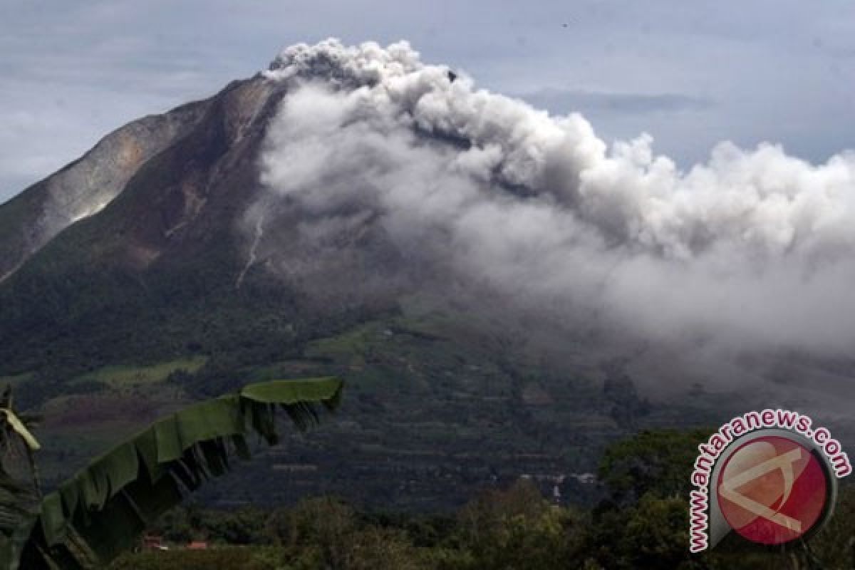
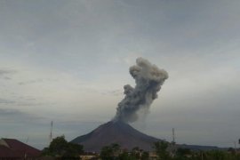
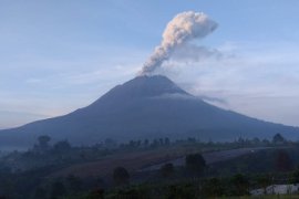
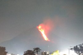
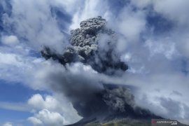
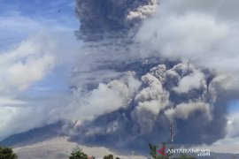
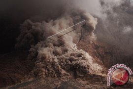
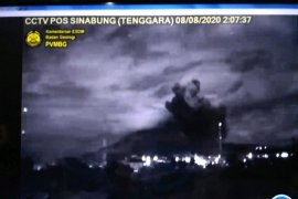
The local government of Karo District has urged every district administrative official to increase public awareness with regard to the eruption of Mount Sinabung, which occurred on Sunday at 2:51a.m. (GMT +7).
Johnson added that the relocation of villages was carried out on the recommendation of several Volcanology and Geological Hazard Mitigation (PVMBG) officers.
"The relocation of four villages to a safer place has been reviewed and considered to protect the residents," noted Johnson.
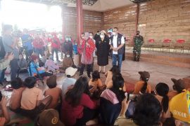
Johnson said the evacuees will be housed temporarily at the Post Disaster Management in Kabanjahe and Jambur Sempakata District Offices, and Karo Batak Protestant Church (GBKP) Kabanjahe and Jambur Tras in Berastagi .
"Thousands of evacuees have been transported in trucks," added Johnson.
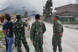
As of Sunday afternoon, volcanic ashes from the eruption of Mount Sinabung have spread to Brastagi, which is located about 10 kilometres from the volcano.
"Residents of Brastagi are required to wear masks to prevent accidental inhalation of the smoke," said Johnson.
Sinabung is the highest mountain in North Sumatra, with an altitude of about 2,600 meters, and Mount Sibayak is the second highest peak, with an altitude of 2,040 meters.
Both Sinabung and Sibayak are the remaining active volcanoes in North Sumatra. Mount Sinabung is located in Simpang Empat District, whereas Sibayak is located in Berastagi District.
On September 3, 2010, at least two eruptions were reported; the first eruption occurred at around 4:45p.m. (GMT +7) while the second eruption occurred at around 6p.m. (GMT +7).
EDITED BY INE
(A050/KR-BSR/O001)
Editor: Jafar M Sidik
Copyright © ANTARA 2013
